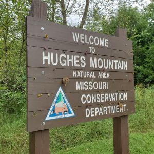

Hughes Mountain
POINTS OF INTEREST:
See ancient volcanic rocks with unusual hexagonal structures.
Enjoy the view of the Ozark landscape from atop the ancient mountain.
Enjoy spring blooming glade wildflowers.
NATURAL HISTORY:
Hughes Mountain rises 380 feet above the floodplain of the nearby Big River and is comprised of rhyolite, a type of igneous rock. The rhyolite of Hughes Mountain formed from ancient lava flows around 1.4 billion years ago. Under certain conditions as lava cools it can form columnar joints. At Hughes Mountain there is a fascinating area of columnar jointed rhyolite rocks. Columnar joints are a geologic feature of many well known sites around the world such as Devil’s Tower in Wyoming and the Giant’s Causeway in Ireland.
The igneous glades of Hughes Mountain are harsh places for plants to grow with lots of exposed rock and hot, dry summer conditions. However in the spring a number of showy wildflowers can be seen blooming here and there across the glades including wild hyacinth, glade onion, false garlic, yellow-star grass, fame flower, lance-leaf coreopsis, fame flower, prickly pear, and sundrops. In the dry woodlands surrounding the glades expect to see gnarled blackjack and post oaks and black hickory. Lichens and mosses are common on many of the rocks. You may also be lucky enough to see the colorful collared lizard that inhabits these glades. Unfortunately collared lizards and other glade reptiles are illegally collected for pets and this has decimated populations of glade lizards at some sites. Please only take pictures of these wonderful collared lizards, known locally as “mountain boomers.”
Views from the top of Hughes Mountain are good of the surrounding countryside. Way back in 1806 John Hughes (the mountain’s namesake) had a grist mill and saw mill along the Big River just north of the natural area. The nearby town of Irondale was a center of iron ore production in the 1800s. The land around Hughes Mountain has certainly changed since John Hughes set up his mills at its base.
ACCESS INFO
From Potosi travel south 11 miles on Highway 21 then turn left (east) on Highway M. Follow Highway M for 5 miles and look for the parking lot on the south side of Highway M (200 yards east of Cedar Creek Road). A 0.75 mile hiking trail leads from the parking lot to the top of the mountain. Hunting is allowed.